Unit 1
Thinking Geographically
Chapter 1
Introduction
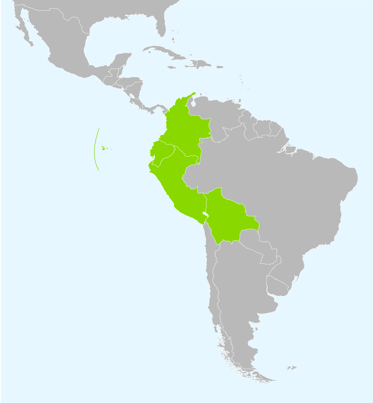
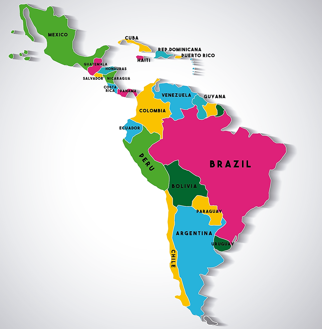
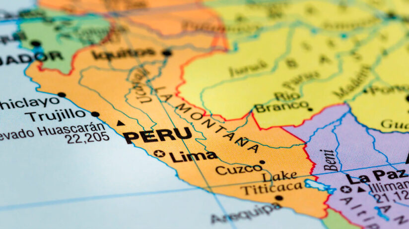
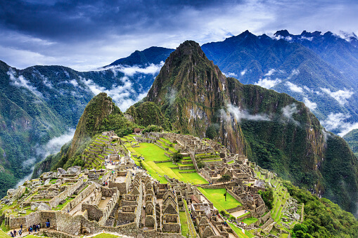
This unit will introduce terms and processes that geographers use to further gain an understanding on the affect and influence of human activity on the environment in Peru. Peru is situated in Western South America, South of Ecuador and Colombia, and North of Chile. Some of the major land areas of Peru are its habitats that range from arid plains in the Pacific coastal region, the peaks of the Andes Mountains extending from the Southeastern part of the country to the Northern part, and the Tropical Amazon Basin Rainforest in the East along with the Amazon River. Important sites in Peru are the City Of Machu Picchu and the Capital City, Lima.


Chapter 1
Major Toponyms Of Peru
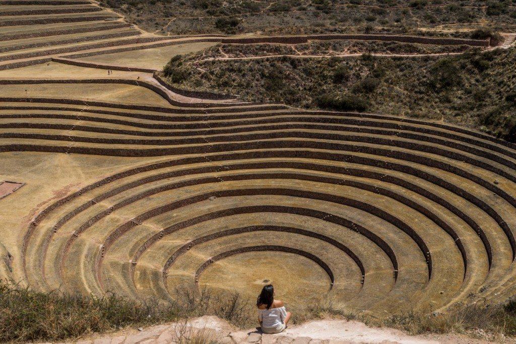
Machu Pichu
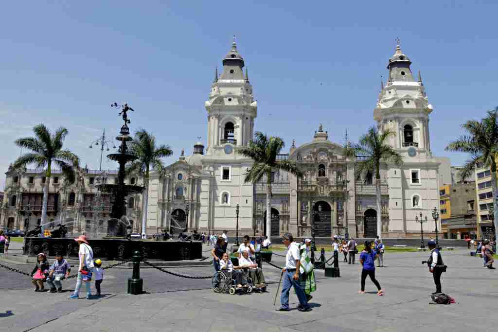
Lima Peru
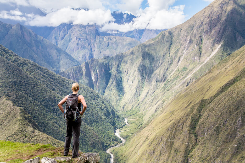
The Inca Trail
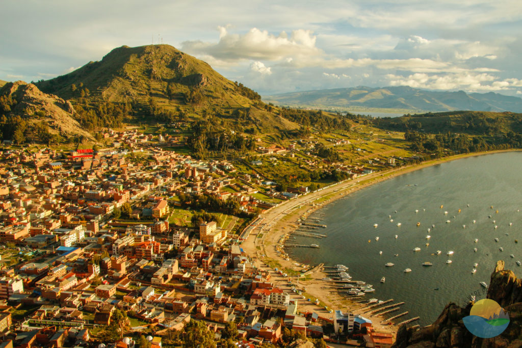
Lake Titicaca
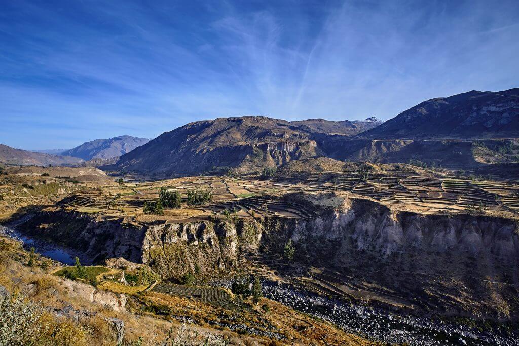
Colca Canyon
Sacred Valley

Where is Peru situated?
Peru is situated in Western South America, South of Ecuador and Colombia, and North of Chile. Some of the major land areas of Peru are its habitats that range from arid plains in the Pacific coastal region, the peaks of the Andes Mountains extending from the Southeastern part of the country to the Northern part, and the Tropical Amazon Basin Rainforest in the East along with the Amazon River. Important sites in Peru are the City Of Machu Picchu, the Capital City, Lima, and the Inca Trail.
Globally
Regionally
Types of Regions
Formal
An area defined by one predominant or universal characteristic throughout its entire area. Formal Regions have well-defined boundaries (beyond which the predominant or universal characteristic does not apply).
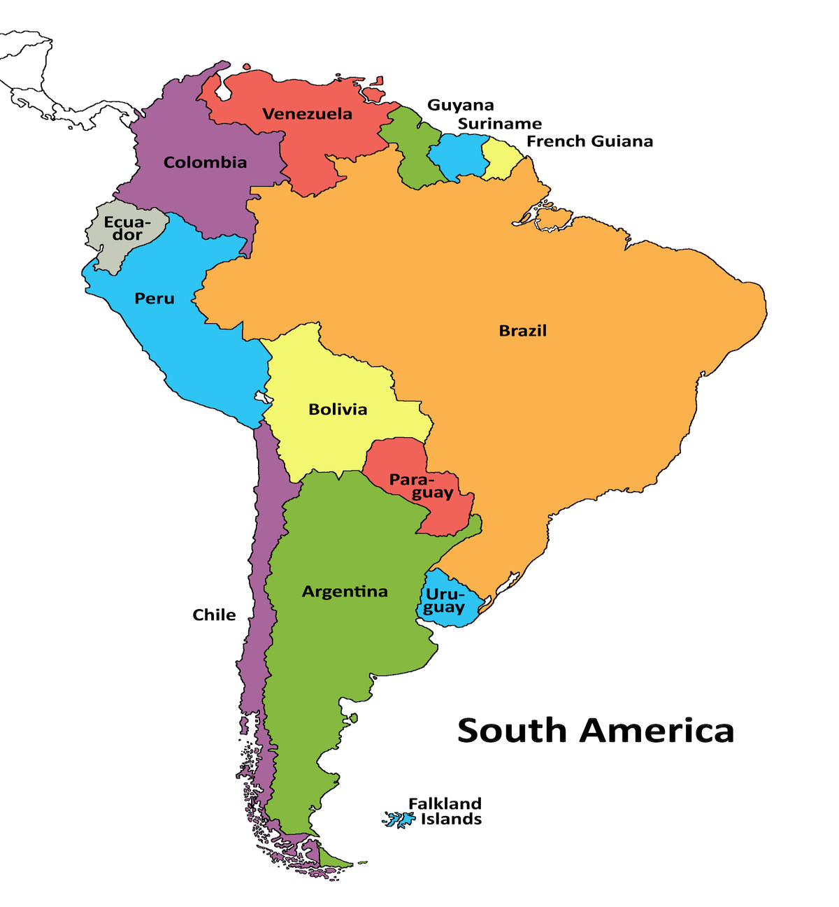
South America is a Formal Region, and Peru is located in it.
Functional
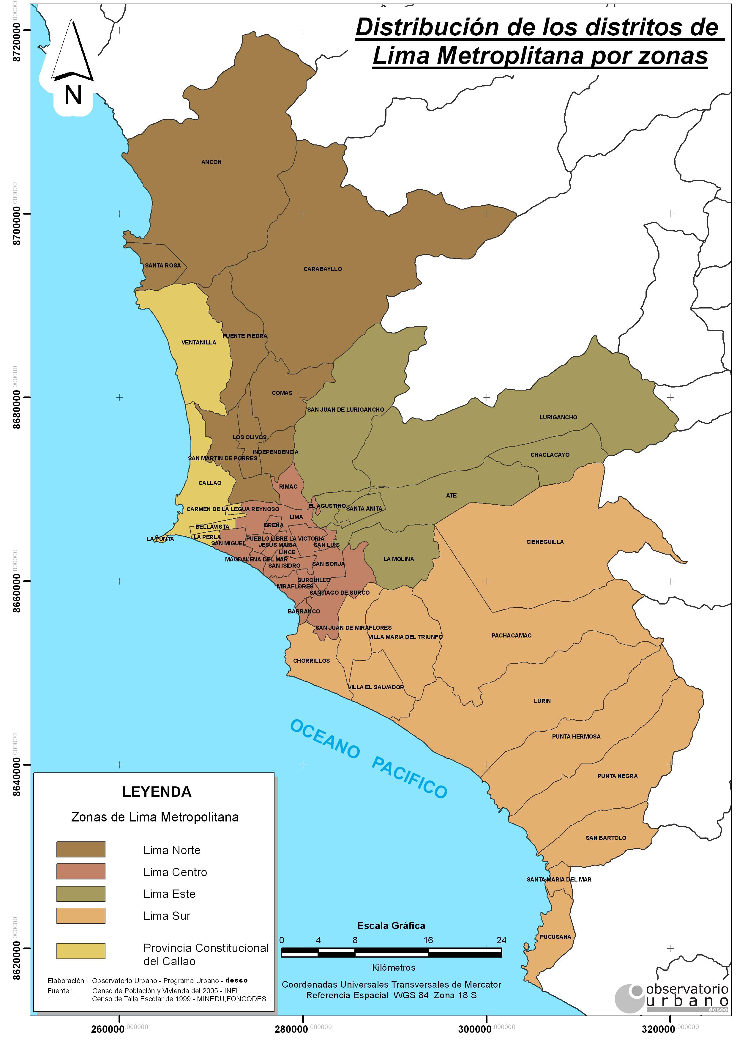
A territorial unit resulting from the organisation of social and economic relations in that its boundaries do not reflect geographical particularities or historical events. It is thus a functional sub-division of territories.
A functional region in Peru is the Lima Metropolitan Area which is found near the capital of Peru, Lima.
Perceptual
A perceptual region is based on the shared feelings and attitudes of the people who live in the area. Perceptual regions reflect the cultural identity of the people in the region.
Peru is located in the perceptual region of Latin America.

Types of Maps
Choropleth
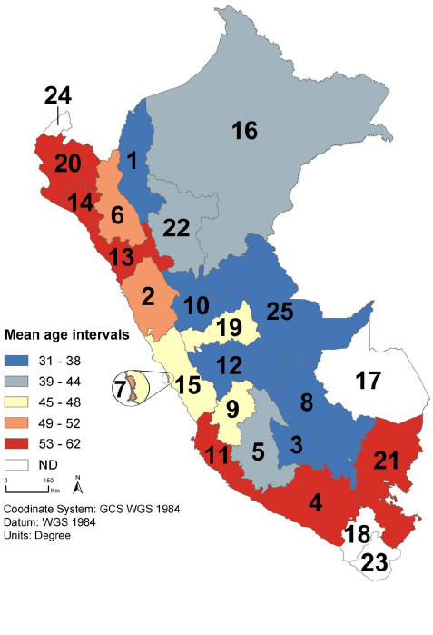
A map that uses differences in shading, coloring, or the placing of symbols within predefined areas to indicate the average values of a property or quantity in those areas.
This Choropleth Map is providing information regarding the mean age interval of Peruvian patients located throughout the country in 1984. We can see that the coastal areas of Peru are where the mean age interval of the Peruvians is higher than 45 years old. Out of all the countries in the world, Peru is one of the easiest to get a retirement visa. Retired couples tend to live here because of this. If you look closely near the central coastal region, you will see that region 15 contains a small section of a higher mean age interval. This section is where the Capital City, Lima, is situated. When compared to the rest of the Country, Lima’s age structure is much older. If you look towards more central land regions, you will see that the mean age interval becomes much lower than the rest of the country. This is peculiar because typically younger generations live towards cities for access to things such as employment and easy access to a variety of other amenities. However, recent data shows that millennials have been migrating towards more central areas in countries. These people may be choosing to live in more suburban regions because living in large cities such as Lima can be overwhelmingly expensive and stressful.
Dot Density
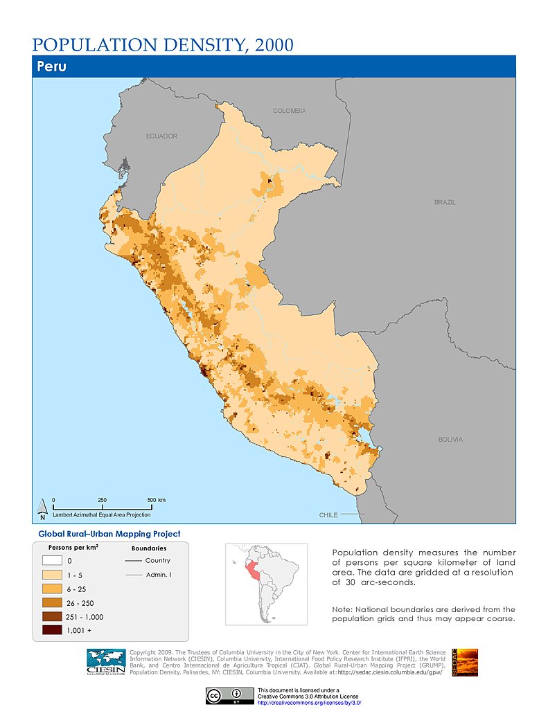
Thematic map that uses dots to represent the frequency of a variable in a given area. Equal-area (or equivalent) projection. Maps that maintain are but distort other properties.
This Dot Density Map is providing information on settlement points in Peru. We can see that the largest number of people are spread throughout Lima, the Capital City of Peru. Additionally, along the coast of Peru we see large clusters of groups containing less than 50,000 people, and other large groups containing between 50,000 and 500,000 people. When you look towards the Eastern regions of Peru, you see that not many people live in these spots. These areas don’t contain large groups of people because many Eastern parts of Peru belong to the Amazon Rainforest, Amazon River, and the Andes Mountains. People don’t live here because the conditions of living in these parts of Peru are very poor. The majority of people tend to settle near coastal regions because this is where there is opportunity and easy access to anything people may need.
Cartogram
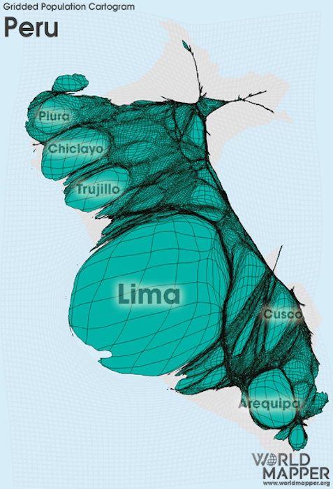
A map in which a certain variable (such as population) is replaced by land area or distance, and the space of the map is altered in order to accommodate this new variable.
This Gridded Population Cartogram Map is providing information regarding where the majority of the population is situated in peru. This map of Peru has been altered to show this. As you can see, the larger the region is shown, the higher the population in that area. From this map we can conclude that the majority of people live along the coast in Lima, the Capital of Peru. We can see that the next largest regions are Plura, Chiclayo, and Trujillo in the North, and Arequipa and Cusco in the Southern Areas of Peru. The areas with a lower population belong to the Amazon Rainforest, Andes Mountains, and the Amazon River. Living along the coast near the city is beneficial because of trade opportunities as well as a better lifestyle. Whereas living in the more rural areas of Peru, having basic necessities can be much more difficult, and life is much harder. People choose to live towards the city because of the lack of opportunity in the central and Eastern regions.

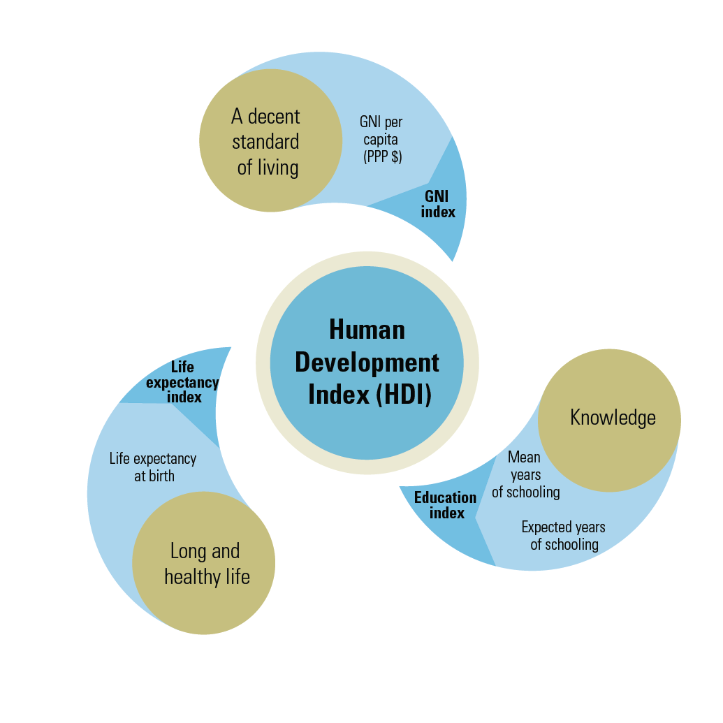
Human Development Index
The Human Development Index measures a country’s average achievements in three fundamental aspects of human development.
When looking at the rankings of countries on the Human Development Index, Peru comes in at the 79th position. The Human Development Index Value of Peru is 0.777. When compared to rank number one, this is substantially lower. This data was recorded three years ago in 2019.
Three Aspects of The Human Development Index
Health
Health, according to the World Health Organization, is "a state of complete physical, mental and social well-being and not merely the absence of disease and infirmity". A variety of definitions have been used for different purposes over time.
Knowledge
Facts, information, and skills acquired by a person through experience or education; the theoretical or practical understanding of a subject.
Standard of Living
Standard of living is the level of income, comforts and services available, generally applied to a society or location, rather than to an individual. Standard of living is relevant because it is considered to contribute to an individual's quality of life.

Environmental Determinism and Possibilism
Environmental Determinism

Environmental determinism is the study of how the physical environment predisposes societies and states towards particular development trajectories.

Possibilism

Possibilism in cultural geography is the theory that the environment sets certain constraints or limitations, but culture is otherwise determined by social conditions.


Environmental Determinism In Peru
In Peru there is a large amount of mineral resources. Some of these resources are iron, copper, lead, zinc, phosphates, bismuth, and manganese. Each of these minerals exist in high quantities with high-yield ores. Amongst all rare metals, gold and silver are found extensively throughout the entire country. Petroleum fields can easily be found in the far North Coast and towards the Northeastern part of the Amazon. In spite of Peru's potential mineral wealth, near the 20th century there was not any exploitation due to world price fluctuating, an absence of transportation facilities, a reduction in foreign investment, a decline in processing of plants, and many limitations coming from the centralized state mining administration. When Peru was discovered, at first glance it may have not looked that appealing due to tectonic activity, and sporadic but destructive floods, but it's advantages outweigh the negatives. Peru is home to one of the world’s richest marine ecosystems, and throughout the country there are advanced river systems, and irrigation agriculture opportunities. In 1532, Francisco Pizarro and his Spanish conquistadors arrived in Peru, conquering and re-founding Cusco as a Spanish colonial town in 1534. The settlers chose Peru because of Its immense amount of precious metals, natural gas, and oil. This was mainly through environmental determinism, but possibilism was also involved.
Environmental Challenges In Peru
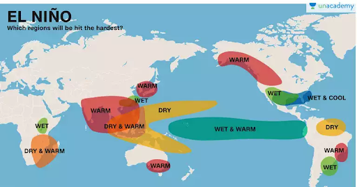
Peru is challenged by El Niño, which is a pattern of increasingly warm surface waters in the eastern Pacific Ocean. Due to the amount of natural resources In Peru, such as gold, that are mined in Peru, there have been many acts that have encouraged a more sustainable development. For example, The General Environment Act of 2005, and the adoption of the use of hydropower. The United Nations provides the opportunity for public projects to focus on low-carbon green growth, sustainable development, and resource conservation. The UN also has set forth programs to fight against climate change in Peru.
Sources
Switch Unit